The Way
79 miles from Hessle to Filey Brigg
The Yorkshire Wolds Way is a 79-mile (127 km) National Trail that offers a journey through some of the most tranquil and forgotten countryside in England. Stretching from the banks of the Humber estuary at Hessle to the dramatic coastal headland of Filey Brigg, it is the shortest of Britain's National Trails and arguably the least trampled.
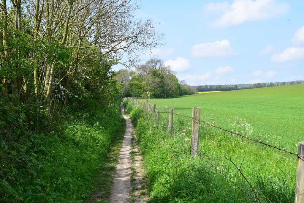
Unlike the rugged, craggy peaks of the nearby Pennines or North York Moors, the Wolds are characterized by a rolling chalk landscape, big skies, and hidden, lush green dry valleys.
The journey typically begins at the Hessle foreshore, under the shadow of the Humber Bridge. While the initial miles alongside the muddy banks of the estuary may lack traditional scenic beauty, the trail quickly transforms as it moves away from the traffic noise of the A63 into wooded dales such as Welton Dale.
North of South Cave the route climbs onto airy chalk tops with wide-open field views. Between Market Weighton and Thixendale walkers cross the famous "rollercoaster" of steep dry valleys before reaching Wharram Percy and the northern Wolds.
The final stages lead toward the coast through Wintringham and Muston before entering Filey. The journey ends at Filey Brigg, where a stone sculpture marks the finish of the Yorkshire Wolds Way and the beginning of the Cleveland Way.
In summary, the Yorkshire Wolds Way is a trail of simple pleasures - friendly locals, ancient history, and a landscape that provides a profound sense of peace far from the pressures of modern life.